Hohhot set to optimize urban layout

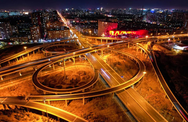
An interchange in Hohhot, Inner Mongolia [Photo/Hohhot Daily]
Hohhot, capital of North China's Inner Mognolia autonomous region, will further optimize its spatial layout and seek to develop into a regional center, according to local media reports.
Last year, the city completed plans to build an urban layout known as "one center and one sub-center" and "one core and two wings".
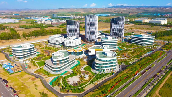
The "one core" of the main urban area is the central urban area composed of four districts, with a planned area of 240 square kilometers. The "two wings" are the Baita Ecological Habitable Area in the east, with a planned area of 70 square kilometers, and the Yili Future Intelligence and Health Valley in the west, with a planned area of 100 square kilometers.

The data centers located in Horinger New Area, Hohhot [Photo/Hohhot Daily]
The urban sub-center consists of Horinger New Area, Horinger Dairy Development Zone, Shaerqin Area of Economic and Technological Development Zone, and New Airport Area, with a planned area of 80 square kilometers.
In 2022, Horinger New Area was identified by the National Development and Reform Commission and other four ministries and commissions as the national hub of the national integrated computing power network Horinger data center cluster.
The city has formed an urban transportation layout known as "one horizontal, two vertical, four rings, and three hubs" to aid in high-quality economic and social development.
In addition, the new airport under construction in Hohhot is a 4F-level comprehensive international airport and one of the main alternate airports of the Beijing-Tianjin-Hebei airport group. It can accommodate large aircraft such as the Airbus A380 and is expected to have a passenger throughput of 28 million by 2030.

The Chilechuan Grassland located in Hohhot [Photo/Hohhot Daily]


