Following Tibet's Southern Friendship Highway
Updated: 2018-12-14 By Bruce Connolly  Print
Print 


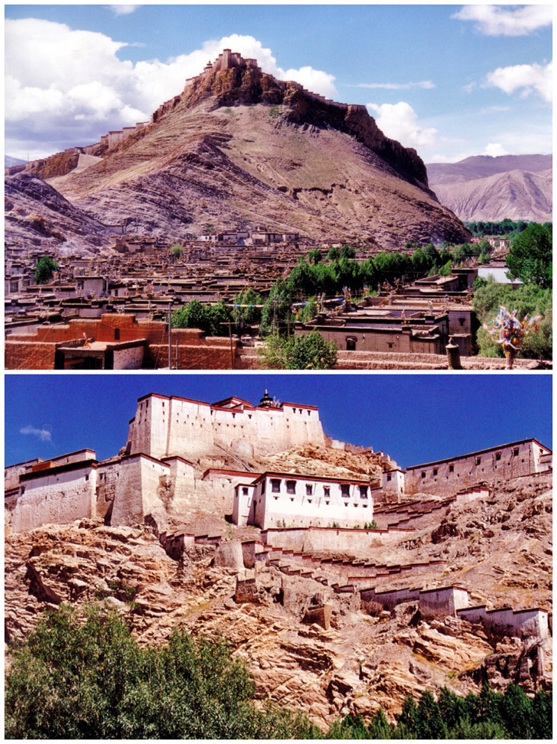
Gyangze Fort (dzong) and town 2000. [Photo by Bruce Connolly/chinadaily.com.cn]
Overlooking everything was the 14th century Gyangze Dzong, one of the grandest fortresses in Tibet. It's a cornerstone of regional history, which was practically destroyed during the British invasion in 1904.
Exploring the town, I felt I could've stayed for weeks. Most buildings retained the traditional local style of two floors, white walls and blue window frames. There were few motor vehicles, rather horse-pulled carts passing tethered cows and open-air markets displaying large tea pots, kettles, cooking cauldrons, milk containers, and iron stoves. Children passed, going to and from school, as I headed for lunch in a delightful restaurant displaying paintings of the surrounding landscape. I loved the food, which had a distinctive Nepalese flavor.
Departing Gyangze the scenery turned dramatic. Reaching a hydro power station, the road zigzagged steeply to emerge above a lake created by hydro dam construction. It was amazing to view this landscape of bare brownish rock rising above the blue waters from which an abandoned castle protruded.
Distinct from the road earlier leading from Gyangze from Xigaze, this highway was very quiet. At first we would only see the occasional horse-drawn cart. Snow peaks started to appear ahead with the 7,191-metre-high, ice-covered Nojin Kangstan seeming to be directly above the highway. Yaks roamed while I, as a geographer, was just thrilled – this was a classical glacial geomorphology landscape.


